
Landscape and Visual Impact Analysis
Landscape and Visual Impact Analysis
Inspiration
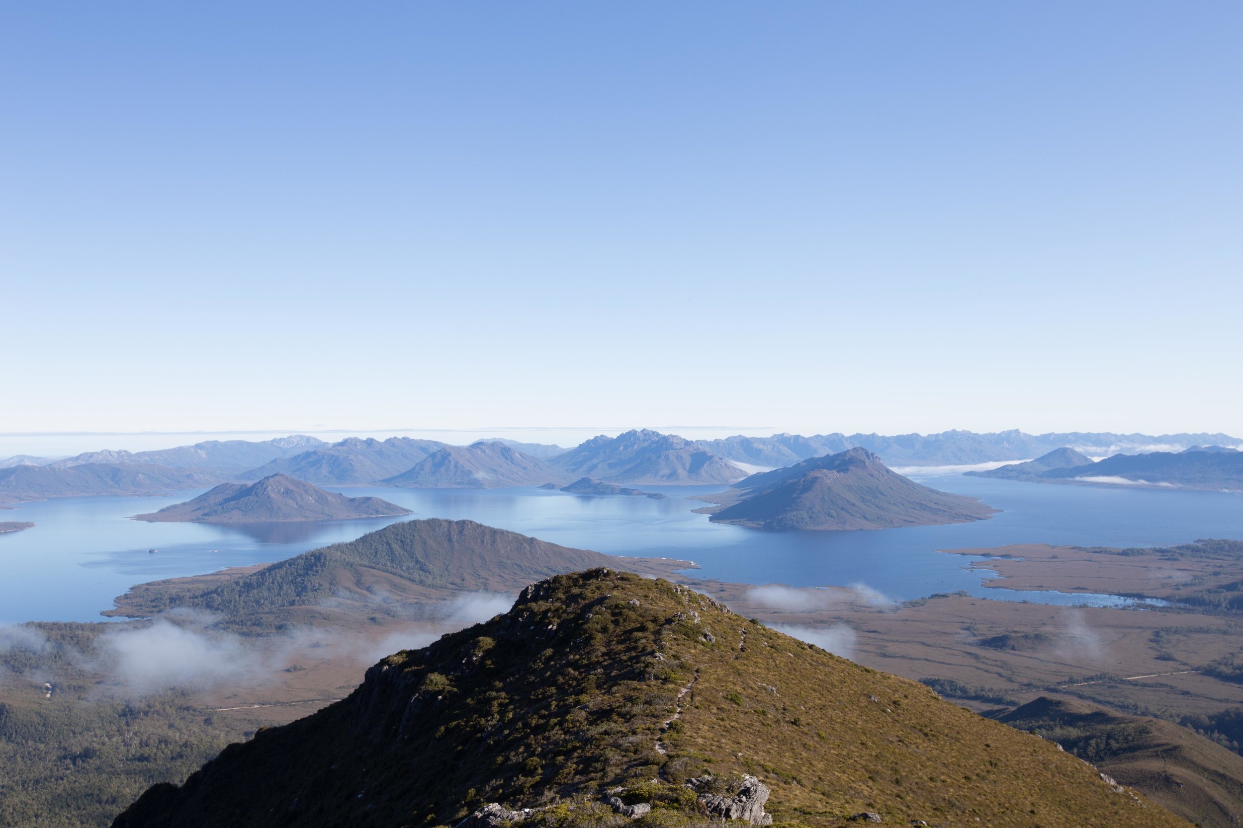
Tasmania’s natural and cultural landscape is much admired and is celebrated in the arts and the promotional materials designed to brand the place as a ‘clean and green natural state’. Tourism Tasmania’s advertising campaigns tell us that ‘behind the scenery’, lies our point of difference in the world. For this reason, caution needs to be exercised and due consideration given to development that might impact the scenic quality of Tasmania’s landscape.
Outcomes
For over 35 years Inspiring Place team members have applied contemporary best practice techniques of landscape character assessment and visual impact analysis to the evaluation of wind farms, heavy industry, residential development, pumped hydro, waste disposal operations and tourism attractions on behalf of a variety of public and private clients.
Relevant Projects
• 2021 Landscape and Visual Impact Analysis St Patricks Plains Wind Farm (Epuron)
• 2021 Staverton to Hampshire Hills - Landscape and Visual Impact Analysis North West Transmission Developments (Coffey)
• 2021 Proposed Bridgewater Bridge (Burbury Consulting)
• 2021 Visual Impact Analysis Pumped Hydro Cethana (Hydro Tasmania)
• 2021 Preliminary Visual Analyais Pumped Hydro Tribute (Hydro Tasmania)
• 2019-2021 Landscape and Visual Impact Analysis Cradle Mountain Public Huts (Waterfall Valley, Windermere and Kia Ora) (Tasmania Parks and Wildlife Service)
• 2020 A Manual for Evaluating the Visual Impact of Pumped Hydro Energy Storage (Hydro Tasmania)
• 2020 Visual Values Impact Analysis Claremont Subdivision (PDA Surveying and Engineering)
• 2018 Dove Lake Visitor Facilities Visual and Wilderness Impact Analysis (Tasmania Parks and Wildlife Service) [2019 Award for Excellence in Landscape Planning, Australian Institute of Landscape Architects (Tasmania)
Recognition
A Manual for Evaluating the Visual Impact of Pumped Hydro Energy Storage (Hydro Tasmania) 2021 Award for Excellence in Landscape Planning, Australian Institute of Landscape Architects (Tasmania)].
Photography: Jordan Davis, Grace Uziallo

